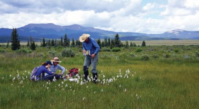
Colorado Natural Areas
Twenty-four parcels of state trust land that total more than 30,000 acres are designated into the Colorado Natural Areas Program (CNAP).
CNAP is a statewide program managed by Colorado Parks and Wildlife. The CNAP team focuses on the recognition and protection of areas that contain at least one unique or high-quality natural feature of statewide significance.
CNAP works cooperatively with landowners to identify, monitor, and protect a system of natural areas representing a diverse spectrum of Colorado's natural heritage.
Explore this interactive map that describes the attributes of CNAP properties!
Go directly to the map. Or view and use it below. Or skip past the map.
Accommodation statement: you may skip this element. The State of Colorado is committed to providing equitable access to our services to all Coloradans. Please contact Rachel Majich (rachel.majich@state.co.us or 720-854-3306) for personalized accessibility assistance using this page, which includes an interactive map that visually and geospatially depicts our data. We will contact you directly within three business days. Visit our accessibility webpage for more information and services, including AIRA, our free service for blind and low-vision users.
The two primary benefits of designating state trust lands as Colorado Natural Areas are 1) annual monitoring visits by trained volunteer stewards (citizen scientists) and 2) long-term monitoring through documentation of baseline conditions and changes over time.
Colorado Natural Areas Program is part Colorado Parks and Wildlife and was established by statute in 1977. CNAP is comprised of a committed staff, an active Advisory Council, and numerous partners and volunteers.
If you have experience with botany, wildlife biology, geology, paleontology, enjoy orienteering or back country travel, or love the outdoors and would like to develop your skills as a naturalist, read more becoming a CNAP Volunteer Steward.
